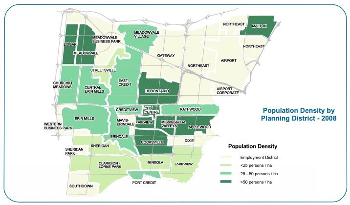
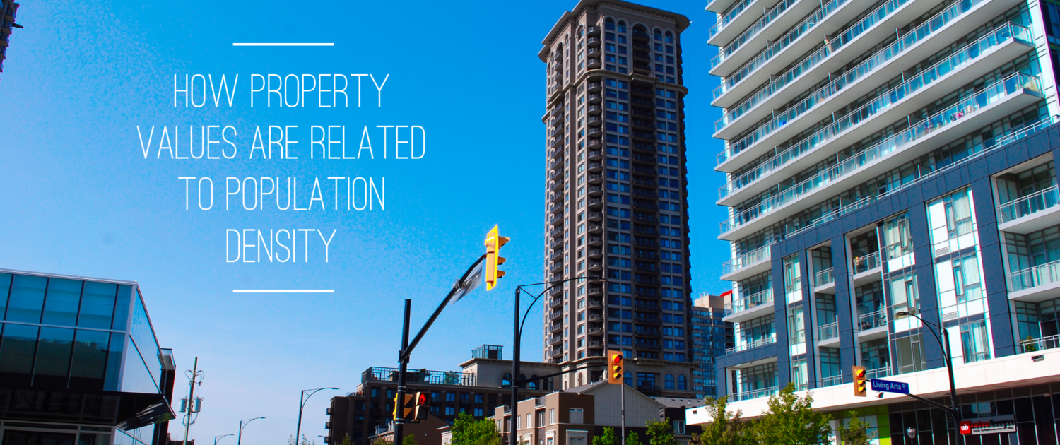
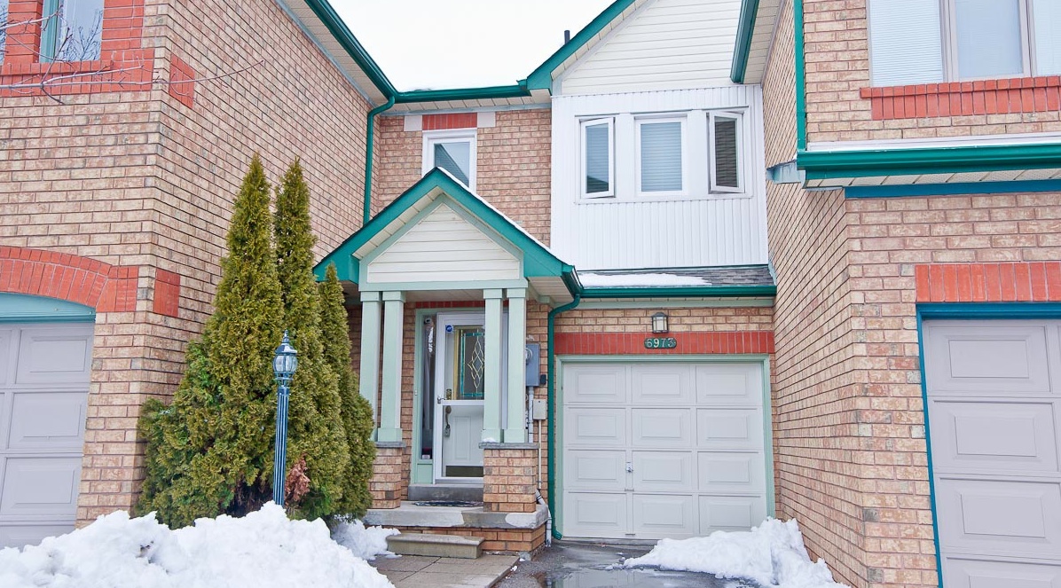
If you look at a Mississauga population density map, you will notice a very obvious correlation between population density and property value with the most expensive, exclusive areas of the city almost always having the least amount of people per hectare.
This is because regardless of building patterns, government development policy, or the change in public opinion regarding household footprint, land is still king in real estate and the areas with the lowest population density will always be the most expensive and sought after. Below is a Mississauga Population Density Map for 2008, and you will see that the light green areas tend to be in the older areas of Mississauga and all are some of the most sought after areas in the whole city. Areas such as Mineola, Lorne Park, Clarkson, Sheridan, Lakeview and Streetsville all fall into this category.
I also want to note that the pattern of real estate values and population Density are not unique to Mississauga, I see the same trend in other areas that I specialize in such as Oakville and Burlington. While smaller in size, Oakville and Burlington have followed a somewhat similar development pattern as Mississauga where the older areas closer to the lake and tend to be less populated and more valuable then the more northern sections.
If this article speaks to you and you are interested in older homes, check out my post titled Older Suburban Homes Back in Vogue in Mississauga, as sophisticated home buyers continue to search for homes in the areas that are more mature, that offer more space, renovation potential and a better outdoor lifestyle.
Update: Since originally writing this article, I have not been able to find another updated population map. From my own observation, the areas of Mississauga City Centre, Churchill Meadows and Central Erin Mills have had the most new development since 2008.


